- Our Story
- Our Impact
-
Our Projects

Commercial

- Careers
 Enquire
 Call
Call
 chat
chat
 Search
Mumbai Nagpur Expressway (Samruddhi Mahamarg): Route, Opening Date, Toll and More
By lodha
November 10, 2025Mumbai Nagpur Expressway is one of the most ambitious infrastructure projects in India, connecting the two major cities of Mumbai and Nagpur with a world-class, signal-free, and fully access-controlled expressway. With a total project cost of approximately ₹55,000 crore, the corridor is designed to reduce the travel time between Mumbai and Nagpur from 16 hours to about 8 hours, providing a significant boost to trade, commerce, and tourism in the region.
Let’s take a closer look at the Mumbai Nagpur Expressway, exploring its benefits, technical details, Samruddhi Mahamarg route map, current status, toll plaza locations, safety measures, and future plans.
Introduction to Mumbai Nagpur Expressway
What is Mumbai Nagpur Expressway?
Mumbai Nagpur Expressway, also known as the Maharashtra Samruddhi Mahamarg, is a 701-kilometre, six-lane expressway connecting Mumbai’s metropolitan region to Nagpur. Construction commenced in 2018. The corridor covers 10 districts and around 392 villages, creating a powerful east–west growth axis across Maharashtra.
History and Purpose of Building the Expressway
First proposed in 2015, the vision was to catalyse prosperity by enabling swift movement of people and goods. In June 2025, the final stretch opened, marking full connectivity between Nagpur and the Mumbai Metropolitan Region—an important milestone often referenced as the Samruddhi Mahamarg completion date.
Benefits and Significance Of Mumbai Nagpur Expressway
Reduced Travel Time and Cost
By halving journey times to ~8 hours, the expressway lowers logistics costs and elevates quality of life for intercity commuters and businesses.
Boost to Trade and Commerce
The corridor strengthens access to ports, airports, and consumption centres, spurring industrial and warehousing growth along the alignment.
Enhanced Connectivity and Accessibility
Spanning 10 districts and ~392 villages, the route integrates under-served regions into mainstream economic activity—frequently referenced in searches for Mumbai Nagpur expressway districts.
Impact on Real Estate and Tourism
Improved access to heritage circuits (Ajanta–Ellora, Shirdi, etc.) is expected to bolster tourism and real-estate development surrounding key interchanges.
(Note: A few place references in your earlier draft—e.g., Lonavala/Khandala—relate to the Mumbai–Pune corridor, not Samruddhi. Consider removing those to keep this article precise.)
Technical Details and Construction Process of the Samruddhi Mahamarg
Length and Width of the Expressway
Samruddhi is 701 km long, six lanes (with service roads in sections) and a design speed up to 150 km/h (posted limits vary for safety). Project delivery has been staged in packages with advanced tunnelling and viaduct works.
Environmental Impact and Mitigation Measures
The corridor is being developed as a green, energy-efficient expressway: solar panels (initial 5 MW commissioned; planned scale-up to ~204 MW), rainwater harvesting, and the use of fly-ash/recycled materials. Plans also explore wind energy at suitable locations—supporting the state’s renewable push. These measures align with common queries on sustainable features and underscore the project’s forward outlook.
Samruddhi Mahamarg Route Map Thane and Major Cities Covered
Starting and Ending Points
The expressway runs from Amane (Thane district) to Shivmadka (Nagpur district), linking Nashik, Shirdi, Aurangabad/Chhatrapati Sambhajinagar, Jalna, Buldhana, Washim, Amravati, and Wardha en route.
Cities and Towns along the Route
Key urban nodes include Nashik, Shirdi, Aurangabad/Chhatrapati Sambhajinagar, Jalna, and Amravati, with multiple new township proposals along interchanges.
Current Status of Samruddhi Mahamarg
Phase 1
In December 2022, the Nagpur–Shirdi (520 km) section opened to the public.
Phase 2 / Final Connectivity
On 5 June 2025, the final 76-km stretch (Igatpuri–Amane) opened, effectively completing the 701-km corridor—cementing the Samruddhi Mahamarg completion date for reference. (Note: some access refinements like the Vadpe interchange integration are being sequenced post-opening.)
Toll Plaza Locations and Charges
The corridor has a network of toll plazas across the 10 districts to ensure smooth throughput. (Toll levels are periodically notified by MSRDC/NHAI; EVs have recently been toll-exempt on Samruddhi under the state’s EV Policy 2025, underscoring the sustainability agenda.
Payment Options and Electronic Toll Collection
FASTag is accepted for swift passage; cash/card facilities remain available as backups, in line with national ETC norms.
Safety Measures and Road Rules
Speed Limits and Lane Discipline
Posted limits are strictly enforced (speed cameras, patrolling). Cars observe higher limits than heavy vehicles, with lane discipline and overtaking rules monitored to international standards.
Emergency Services and Facilities
Ambulances, tow services, SOS booths, and well-spaced wayside amenities support safe, predictable journeys.
Land Acquisition: Scale and Pace
Land acquisition for the corridor advanced at exceptional pace—about 86% by March 2020—with a mix of direct purchase and land pooling frameworks (crop compensation and annuities for different land types). This context is often searched as the Samruddhi Mahamarg land acquisition rate.
Future Plans and Projects Related To The Expressway
Feeder links (e.g., port and freight connectors) and township developments are planned to deepen economic impact across Vidarbha, Marathwada, and North Maharashtra, building on the expressway’s core connectivity.
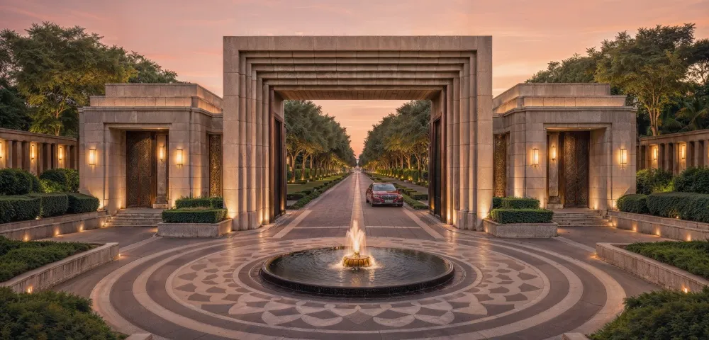
The New Gateway to Mumbai – Lodha Upper Thane
Located minutes from the Samruddhi access in Thane, Lodha Upper Thane is a 200+ acre integrated township with over 80% open spaces, created with celebrated partners and designed for a walk-to-everything lifestyle. With swift access to premier schools, hospitals, retail and key business districts—and direct proximity to the Samruddhi Mahamarg—Upper Thane places residents at the nexus of growth and convenience. For those seeking a future-ready address aligned with Maharashtra’s most transformative corridor, Lodha Upper Thane is the natural choice.
You may also like
 Lifestyle & Culture
 Lodha Foundation & Sustainability
 Lodha Foundation & Sustainability
Recent Blogs
 Lifestyle & Culture
 Recognitions & Milestones
 Design & Architecture
